
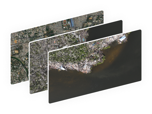
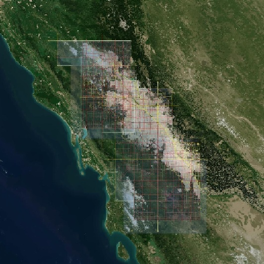
Raw Data
Pretrained Models

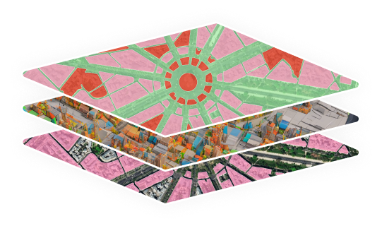
Custom Models Creation
Rapid Automated Annotation

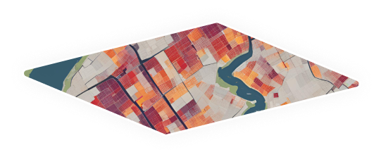
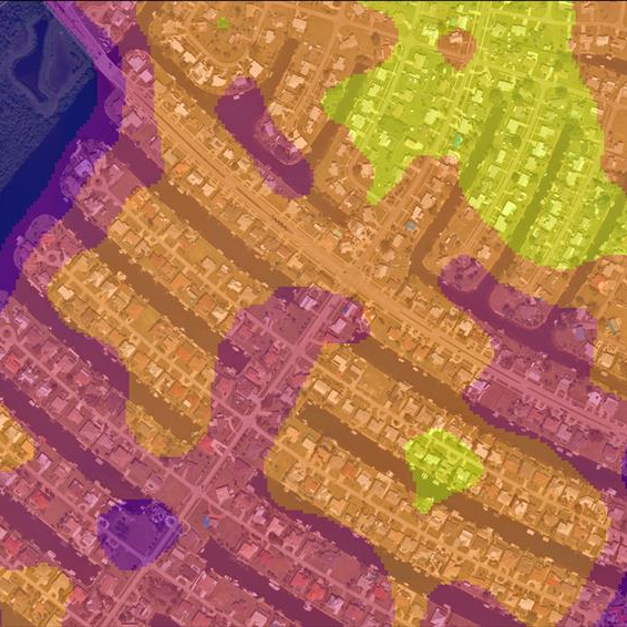
Deeper Insights
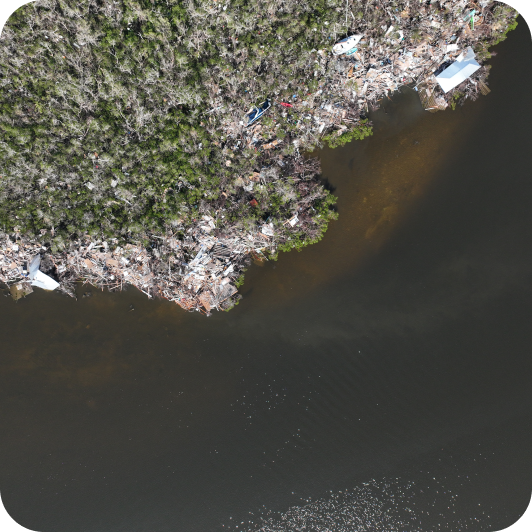
Raw Data
Use satellite, drone, or mobile data with ease. Work with your existing data or upload new data anytime.
Pretrained Models
Ready-made models that do the work for you. Turn data into insights without extra setup.
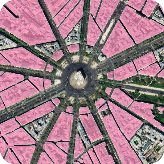
Custom Model Creation
Create models that match your exact needs. Solve specific problems with your own rules.
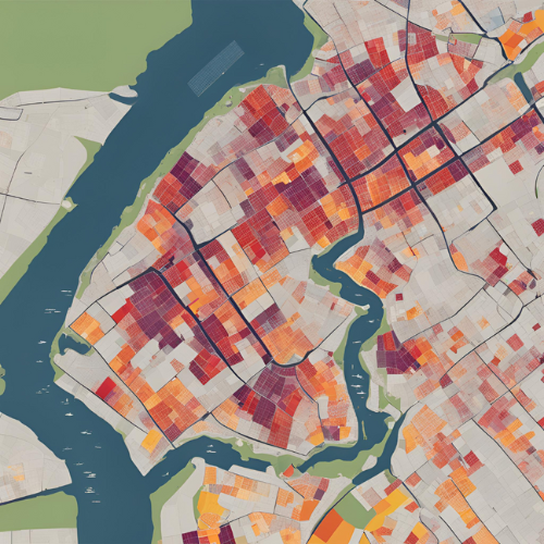
Rapid Automated Annotation
Label data automatically and quickly. Create accurate models in less time.
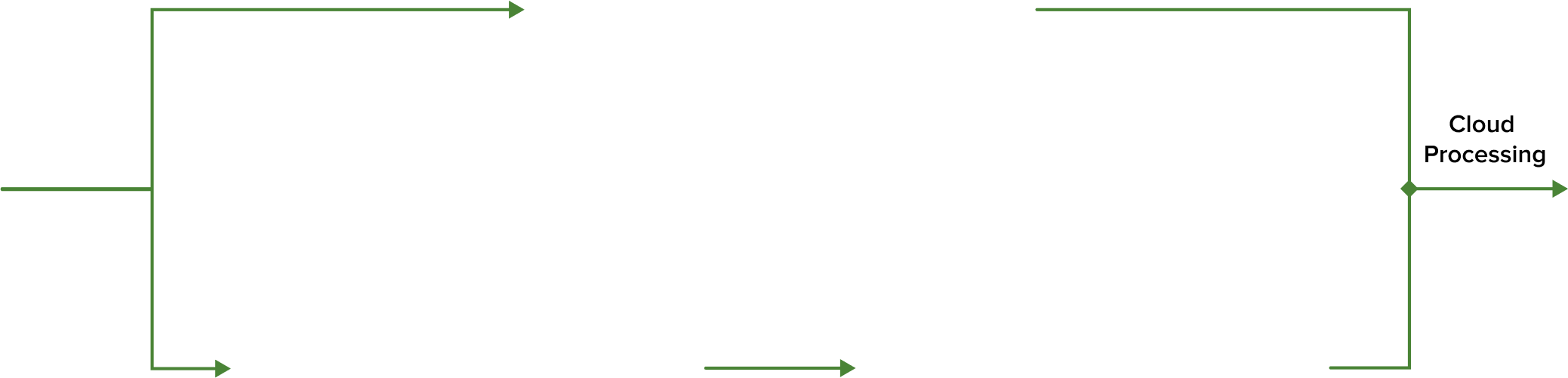
Quick Models
Fast processing that keeps results reliable. Scale easily with cloud-powered performance.
Raw Data
Pretrained Models
Custom Models Creation
Rapid Automated Annotation
Deeper Insights
Spatiosynth stands out for its unmatched flexibility in handling various data types, whether it's satellite imagery, drone footage, or mobile images and videos. Users can seamlessly utilize existing data or effortlessly upload their own.
Spatiosynth offers a range of assessments and models, including pre-trained machine learning models, providing users with readily available tools for analysis and prediction tasks.
Users have the freedom to tailor their analysis further by creating their own models, empowering them to address specific challenges or explore.
Leveraging advanced machine learning and computer vision techniques, Spatiosynth accelerates the annotation process, enabling the swift creation of accurate models.
Users can expect rapid processing of their data, ensuring efficient analysis without compromising accuracy. Spatiosynth utilizes cloud-based processing, enabling users to harness the power of scalable infrastructure for their data analysis needs